After the United Nations adopted a resolution in September 2026 endorsing a map that more fairly represents the size of Earth’s landmasses, author and journalist Moky Makura of Africa No Filter – a main sponsor of the Correct the Map initiative – asked: “What else about Africa is the world underestimating that’s also hidden in plain sight?”
It is a fair question.
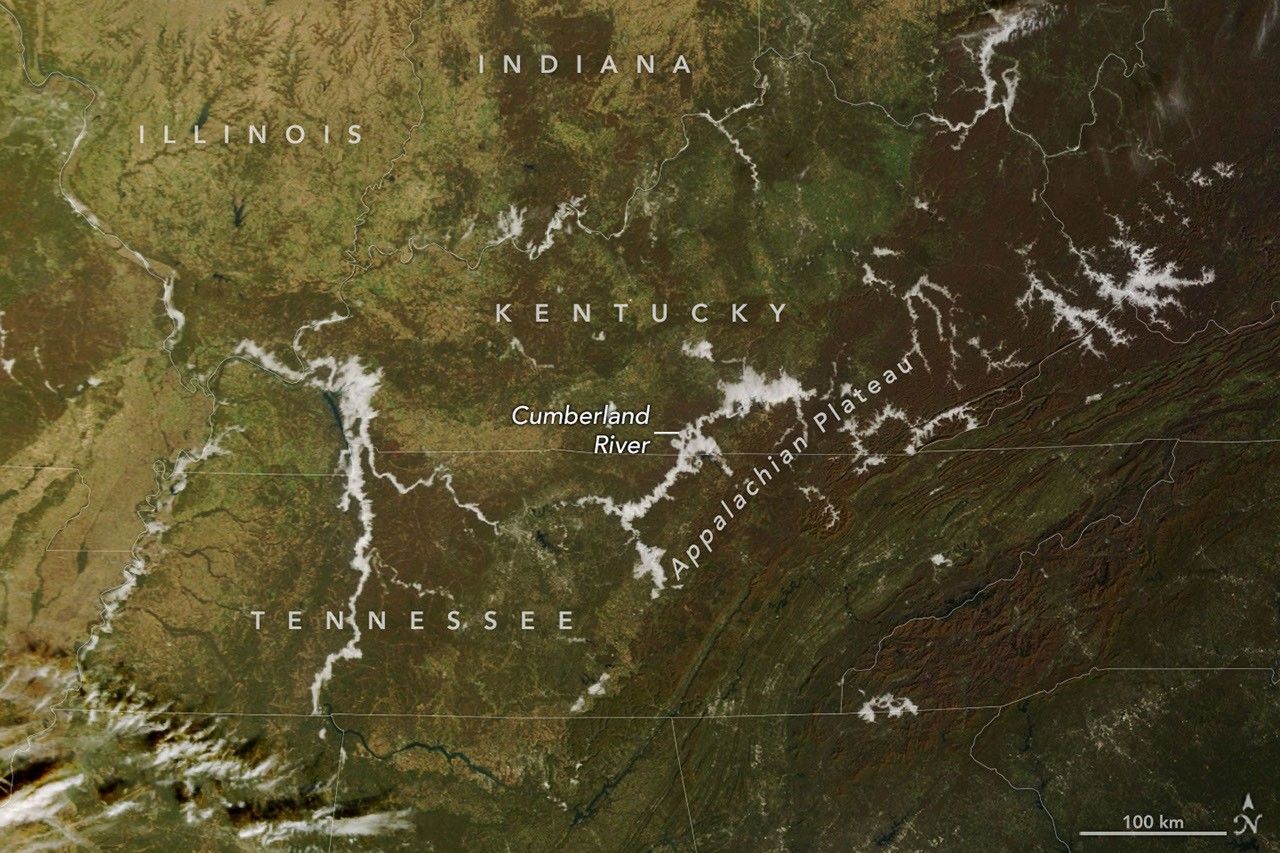
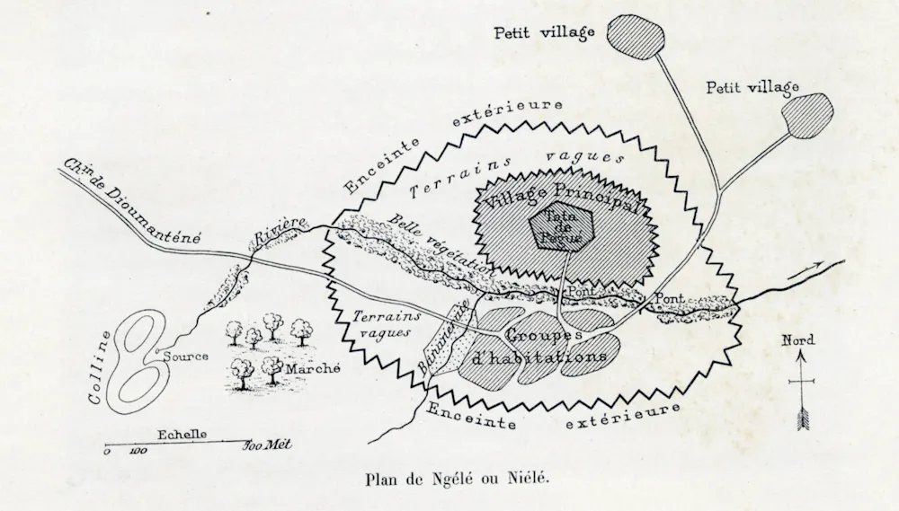
The initiative brought attention to the way continents are distorted by projections that display our rotund planet on two-dimensional maps, something that has long made Africa especially appear far smaller than it actually is. But it left another assumption untouched: that European maps of Africa – which became the basis of how we see African countries today – are based solely on the observations of the Europeans who made them.